Scarborough is a large Toronto district with multiple centres, corridors and residential areas. Local planning records help turn a broad search into questions tied to the property you are considering.
Use the local planning area, not a district-wide assumption
Scarborough includes different neighbourhoods and development settings. The City's secondary-plan collection identifies separate areas such as Agincourt, Highland Creek and Scarborough Centre. Their presence is a reminder to establish which framework applies to a specific address before interpreting a district-wide development headline.
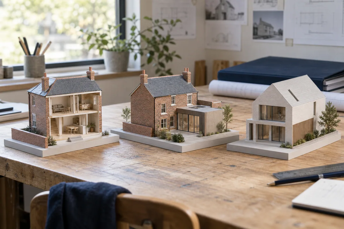
For homeowners, begin with the house you have: its layout, condition, access and outdoor-space priorities. Ask what would solve the problem within the existing building before comparing additions or replacement. A designer should explain both the physical feasibility and the approval questions associated with each concept.
If your plan depends on work close to trees, a slope or a property boundary, identify the relevant investigations early. Do not copy the dimensions of a nearby project into your own brief as evidence of permission. Use the brief to record questions, and have the appropriate City staff or qualified project specialists resolve them.
Compare commercial settings with the customer route in mind
The City's Golden Mile study overview describes large-format retail and surface parking, alongside low-rise commercial and industrial premises around Eglinton Avenue East. Its study area runs broadly between Victoria Park and Birchmount, with Ashtonbee Road and the hydro corridor to the north. This is one distinct part of Scarborough, not a description of the whole district.
Elsewhere, Our Scarborough Centre brings together planning documents about the centre's growth, streets and public spaces. Consult the relevant current records for a prospective site, but verify existing access, services and landlord commitments independently of long-term planning illustrations.
Compare units by tracing customers, staff, supplies and waste through each property. A floor plan with ample area may still have awkward delivery access or an unclear entrance. Bring those observations into lease review and fit-out pricing before selecting a space.
Match signage to viewing distance and access
For premises approached across a parking area, signage needs to identify the destination before customers reach the door. At a street-facing unit, a concise message and a clear entrance may do more work than a large amount of text. In a shared building, directory information can be essential.
Ask the supplier for photographs and measurements that show the actual approach routes. Check whether parked vehicles, landscaping or other signs obstruct the view. Decide which message belongs on the main sign and which can move to windows, doors or interior wayfinding. Test proposed colours and type at the intended viewing size.
The City's sign guidance explains that rules depend on the property's Sign District. Confirm that context and any landlord sign programme before ordering. Compare proposals for the complete job, including removal, preparation, installation access and approval responsibilities. The aim is a sign system that helps customers find the right place and remains practical to maintain.
Find your way around Scarborough
This map shows the area, not a business location or confirmed service boundary.
Sources & further reading
Public sources checked September 15, 2026. Confirm current requirements before acting.
- City of Toronto: Secondary Plans — Distinct local policy areas including North York Centre, Central Don Mills, Downsview, Agincourt and Highland Creek; checked September 15, 2026.
- City of Toronto: Golden Mile Study Overview — Golden Mile study geography and large retail, commercial and industrial built form; checked September 15, 2026.
- City of Toronto: Our Scarborough Centre — Information and Reports — Scarborough Centre planning documents and street/public-space planning; checked September 15, 2026.
- City of Toronto: General Sign Inquiries — Property-specific Sign District rules; checked September 15, 2026.
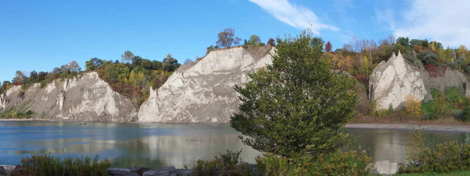
Photo: Scarborough Bluffs panorama by Óðinn · CC BY-SA 2.5 Canada. Cropped and resized; photo derivatives retain the same license.